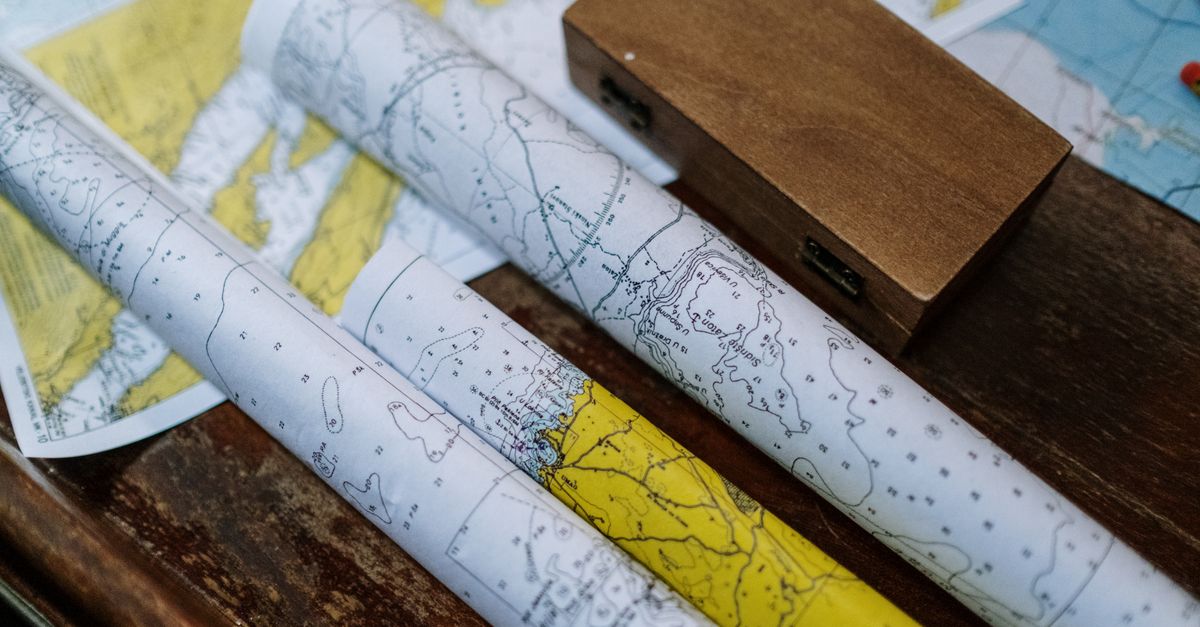
There is no single official Amelia Island fishing map. The closest things are two free government resources: FWC's digital Boating and Angling Guide to Nassau and Duval Counties, an interactive map of ramps, piers, and habitat for these waters, and NOAA nautical chart 11488, which covers the coast from Amelia Island south. Both open in a browser at no cost.
The water here does not hold still long enough for one sheet of paper to explain it. St. Marys Inlet moves the tide at the north tip of the island, Nassau Sound moves it at the south, and in between the current runs through marsh creeks that change depth twice a day. So you are really after three layers: where you are allowed to stand, what the bottom is doing, and where fish hold at a given stage of tide.
Which fishing map should you start with?
The map to start with is FWC's free Boating and Angling Guide to Nassau and Duval Counties, built by the Fish and Wildlife Research Institute with the City of Jacksonville. Most people never open it, even though it was paid for in part through the federal Sport Fish Restoration fund, and it works more like a chart than a brochure: interactive maps, photographs of individual boat ramps and piers, habitat layers, and the species and regulation detail attached to them.
The habitat layer is the part to study. More than 70 percent of Florida's fish, shellfish, and crustaceans spend some critical stage of development in nearshore estuarine waters, which is the whole argument for fishing the marsh instead of driving past it toward the ocean. When the map shades a creek mouth as oyster or grass bottom, it is telling you something a spot list cannot.
Where do you find depth soundings and offshore reef locations?
Depth comes from NOAA chart 11488, and the offshore reef numbers come from FWC's public artificial reef map and database. Chart 11488 is NOAA's chart for this stretch of coast, and it answers what the angling guide does not: soundings, channel edges, the shoals that move around the inlet. NOAA has retired its traditional paper and raster charts in favor of electronic charts and its Custom Chart tool, but the online viewer still opens 11488 in a browser. Read it before you trust a phone app on a falling tide.
Offshore, the artificial reefs are public information too. FWC keeps a statewide interactive map and a downloadable database of reef locations in shapefile, KML, and spreadsheet form, tracked under Florida statute, so the numbers for bottom structure off Nassau County are a download rather than a favor someone owes you.
Where is the best place to fish on Amelia Island?
The best places to fish on Amelia Island without a boat are the George Crady Bridge Fishing Pier over Nassau Sound, the Dee Dee Bartels pier on Pogey Place, and the Fort Clinch State Park shoreline along the surf, inlet, and jetties. Each one is a different trade on cost and hours, and the table below lays out all three.
| Access point | What it is | Cost and hours |
|---|---|---|
| George Crady Bridge Fishing Pier State Park | A one-mile, pedestrian-only former bridge across Nassau Sound; whiting, jack, drum, and tarpon | Open 8 a.m. to sunset, 365 days a year, with no after-hours access; reached through Amelia Island State Park on the north end or a small Big Talbot Island lot on the south |
| Dee Dee Bartels pier, 97177 Pogey Place | Concrete pier and deck, two of them flanking the Northside Boat Ramp, managed by Nassau County Parks and Recreation | No entrance fee, 24-hour access, no bait, tackle, or license sales on site |
| Fort Clinch State Park shoreline | Atlantic surf, St. Marys Inlet, and the jetties | Inside the park gate: $6 per vehicle (2-8 people), $4 single occupant, $2 on foot or bike, plus $2.50 per person for the fort. |
The Crady pier is on the map because of a decision, not an accident. When a replacement bridge opened over Nassau Sound in the late 1990s, state Rep. George Crady pushed to keep the old span standing for public fishing instead of letting it come down. A mile of walkable structure over moving water is not something a county gets back once it is gone.
What license do you need first?
A Florida saltwater fishing license is required to take saltwater fish whether you are standing on sand, on a pier, or in a boat. An annual resident license runs $17.00 and a non-resident annual runs $47.00. If you fish only from shore or from a structure fixed to shore, Florida residents can get the no-cost Resident Annual Saltwater Shoreline License, which is the one most people walking out to a pier actually need.
There are also days when nobody needs one. Florida's recurring license-free saltwater days are the first consecutive Saturday and Sunday in June, the first Saturday in September, and the Saturday after Thanksgiving.
What fish are biting in Fernandina Beach, Florida?
Redfish, sea trout, and flounder are the fish local captain Terry Lacoss describes for these waters, and the useful part of his answer is where and when. In an interview published by the island's tourism bureau, he laid out the local pattern: "Large schools of redfish can be found on the flooded marsh flats and at low tides at creek mouths and the shallow sides of oyster bars. Sea trout school in fast moving currents at the Nassau Bridge, Shave Bridge, deep river channels and flooded oyster bars. Flounder fishing is excellent during the falling tide at the St. Mary's jetties, creek mouths and the deep sides of oyster bars."
Notice what he names. Not GPS marks. Bridges, creek mouths, oyster bars, and a tide direction. Every one of those is findable on the two free maps above, which is why they outperform a list of somebody else's numbers.
Why does the marsh on the map stay marsh?
Roughly 69,000 acres of estuarine marsh around Nassau Sound has been an aquatic preserve since November 24, 1969, designated to protect that estuary, and that designation is what keeps it marsh. It is the Nassau River-St. Johns River Marshes Aquatic Preserve. Closer to town, the Ron Sapp Egans Creek Greenway protects more than 300 acres that opened to the public in the summer of 2000, and the city publishes a downloadable trail map of it.
This is also how I read a waterfront listing. A creek behind a house is not access to the creek. Water at the dock at high tide can be a mudflat at low, and dock potential is not a dock. Chart 11488 and the state's angling guide answer both of those before anyone schedules a showing, and a preserve boundary tells you which view across the marsh is not a future construction site. If you are weighing two homes and one of them sits ten minutes from a free 24-hour ramp, I am happy to help you compare what that changes about an ordinary Saturday.
Print the maps. Learn one creek at a time. Love Where You Live.
Frequently asked questions
Where is the best place to fish on Amelia Island without a boat?
The two strongest shore options are George Crady Bridge Fishing Pier State Park, a one-mile pedestrian-only former bridge over Nassau Sound open 8 a.m. to sunset, 365 days a year, and the Dee Dee Bartels pier at 97177 Pogey Place, a concrete county pier with no entrance fee and 24-hour access. Fort Clinch State Park adds surf, inlet, and jetty shoreline inside a fee gate.
Do I need a fishing license to fish from shore on Amelia Island?
Yes. Florida requires a saltwater fishing license to take saltwater fish from shore, a pier, or a boat. Florida residents who fish only from shore or a structure fixed to shore can get the no-cost Resident Annual Saltwater Shoreline License; an annual resident license is $17.00 and a non-resident annual is $47.00.
What fish are caught around Amelia Island?
Along the Fort Clinch shoreline, St. Marys Inlet, and the jetties, anglers catch redfish, black drum, whiting, flounder, mullet, sheepshead, sea trout, and occasional grouper depending on season. Over Nassau Sound at the George Crady pier, the common catches are whiting, jack, drum, and tarpon.
Where are the best fishing spots in Fernandina Beach, Florida?
The Dee Dee Bartels pier at 97177 Pogey Place in Fernandina Beach is a concrete county pier with no entrance fee and 24-hour access, and the Fort Clinch State Park shoreline covers the Atlantic surf, St. Marys Inlet, and the jetties inside the park gate. For the fish themselves, local captain Terry Lacoss points to flooded marsh flats and creek mouths for redfish, the fast current at the Nassau and Shave bridges for sea trout, and the falling tide at the St. Marys jetties for flounder.
Is there a free Amelia Island fishing map?
There is no single official one, but two free government resources cover these waters: FWC's digital Boating and Angling Guide to Nassau and Duval Counties, an interactive map of ramps, piers, and habitat, and NOAA nautical chart 11488, which covers the coast from Amelia Island south. Both open in a browser at no cost, and NOAA's online viewer still opens 11488 even though the agency has retired its paper and raster charts.
When can you fish in Florida without a license?
Florida's recurring license-free saltwater days are the first consecutive Saturday and Sunday in June, the first Saturday in September, and the Saturday after Thanksgiving. The rest of the year, a Florida saltwater fishing license is required to take saltwater fish whether you are on sand, a pier, or a boat, and Florida residents who fish only from shore or a structure fixed to shore qualify for the no-cost Resident Annual Saltwater Shoreline License.
Sources reviewed
- FWC — saltwater license required for shore/pier/boat fishing
- FWC — saltwater license costs
- FWC — no-cost shoreline license
- FWC — license-free saltwater fishing days
- Florida Aquatic Preserves — Nassau River-St. Johns River Marshes designation
- FWC/FWRI — Digital Boating and Angling Guide to Nassau and Duval Counties
- FWRI — nearshore estuaries as nursery habitat
- FWC — statewide artificial reef map/GIS database
- NOAA — Chart 11488, Amelia Island to St. Augustine
- City of Fernandina Beach — Egans Creek Greenway facts
- Nassau County — North End/Dee Dee Bartels Boat Ramp facility page
- FWC boating guide — Dee Dee Bartels fishing pier entry
- Amelia Island CVB blog — Captain Terry Lacoss interview